Westward Ho! *
*1) This title in no way is meant to disparage any person — living, dead or imaginary — who believes the word "Ho" may apply to them. Nothing could be further from the truth. 2) You know who you are.
(Welcome to another installment of Life Its Own self. If you enjoy reading it, please let me know by 1) hitting the Like button at the bottom, 2) subscribing to this newsletter, and 3) recommending it to others. Also, feel free to comment below. I’d love to hear your thoughts.)
Maps
Me, I like maps, and have since I was a kid. There was 10-year old me with my friends, playing “Combat” and calling in an artillery strike on the enemy position in the alley behind the Fenstermaker’s house. There I was in the Cub Scouts, amazed that a compass could tell me which way was north from any place in the world. There I was as a summer camp counselor during my college years, confident in my map-reading and orienteering skills, even though I knew the trails by heart.
Maps are tactile. I like having them in my hands, turning them this way and that, unfolding them and then foldng them differently to focus on the area I am traveling through. With a topographic map, the sublime pleasure of truing up the lines on the paper with the contours of the hills and valleys in front of you, and the “Aha!” when it clicks into place. And the more you bend and fold a map, the softer and more pliable it becomes, like breaking in a baseball glove.
I like the way maps can get you the details. But I also like the way they help you see the big picture, especially when I am in new or unfamiliar territory. I like having a map when I am walking around San Francisco, for instance. I can find the City Lights Bookstore, but then I can “zoom out” and see where it is in relation to, say, the Golden Gate Bridge.
(This is a pattern in my work, too. Once I have the 10,000-foot perspective, I can be productive at a high level of detail. I’m really good at the micro – provided I keep the macro in view as well.)
I mention this because on my road trip today I could not find one Texas state highway map anywhere I asked. As one fella in Harper told me, “No one does maps anymore.” This comports with my experience: I’ve had two state senators working for a year to get me a Texas highway map, which TxDOT used to print and distribute like Halloween candy, not least because the Governor’s picture was prominent on them.[1] You bet your ass Rick Perry had that figured out.
Summering in the Transpecos
Some people summer in the Hamptons. Or they summer on Martha’s Vineyard. I don’t know any such people, and I bet I wouldn’t run into them on a Saturday night at Crider’s Rodeo outside Hunt.
I, on the other hand, will be summering in the Transpecos. The Alert Reader will recall that I have waxed poetic about the Transpecos previously, and will continue to do so. As a place to “summer” in Texas, it cannot be beat.
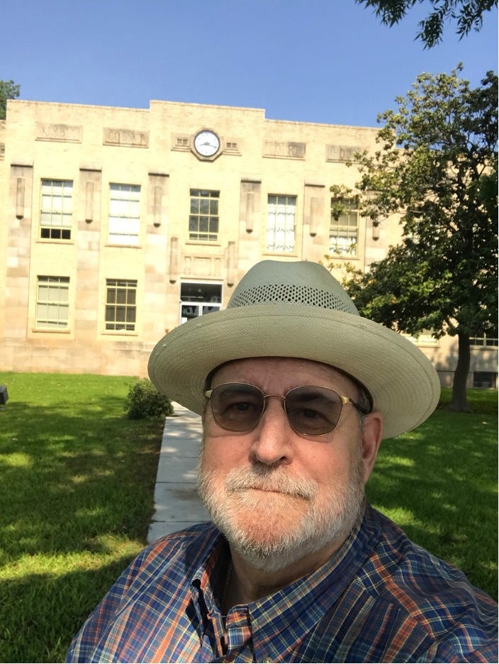
I left about 1:15 today and headed out 290 to Fredericksburg, taking my first county seat selfie in front of the Gillespie County Courthouse.
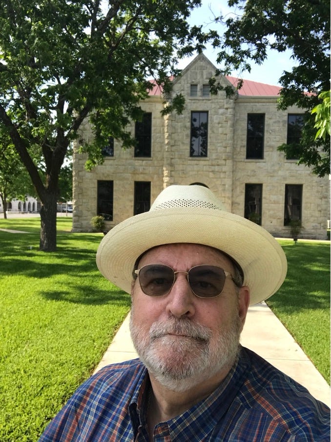
Then through Harper, a thoroughly charming town, to I-10 and on to Junction. This time I did the county seat selfie at the Kimble County Courthouse.
I like Junction, notwithstanding the fact that it is impossible to procure a highway map within its environs. (This complaint, I have come to realize, is not unique to Junction.) It’s a beautiful little town, and very popular during hunting season.
Usually I go through Junction and continue on I-10 to Fort Stockton, where I turn south towards Marathon and the Big Bend. Today, I headed southwest from Junction on U.S. 377, a completely underappreciated drive. Much of the first 40 miles or so traverses a magnificent chunk of Hill Country, following the South Llano River as it heads north towards Junction and Llano. But here it is unspoiled:
Looking upstream where the South Llano River crosses U.S. 377.
Looking downstream to the north.
I spent ten minutes enjoying the rushing of the water, the lack of other noise, the freshwater smell of the river, the fecund trees and grass and dirt that bracketed it all. Most people who experience the Texas Hill Country this way never forget it.
Moving southwest into Edwards County, the land rises and plateaus, flattening out. This is sheep and goat country, one of the top producing areas of wool and mohair in the world. Rocksprings is the county seat, with a lovely little courthouse in the center of town, just in time for my third county seat selfie of the day:
South of Rocksprings, the Whistler Pipeline, which brings natural gas from Midland to Agua Dulce on the Texas coast, runs parallel to the highway. The pipeline easement runs like a scar alongside the highway for several miles.
Once 377 meets U.S. 277 coming south from Sonora towards Del Rio, a different part of Texas’s energy future manifests: huge windmill farms alongside the highway, their blades turning slowly as the wind whips across the plateau from the southeast.
Further south, U.S. 277 crosses San Pedro Canyon, an arm of the Amistad Reservoir. Alas, San Pedro Canyon has seen wetter days. The lakebed is completely dry almost all the way back to the main body of the reservoir.
My friend James Gaston encouraged me to take this route specifically so I could take in the water of the San Felipe Springs, Del Rio’s hidden treasure. I did not make it there tonight, but hope to take a dip before I head west across the Pecos High Bridge tomorrow.
Coming soon: more county seat selfies!
[1] TxDOT now offers a PDF version of the state highway map online. Meh.


I love the route that goes down 41 to 377 and into Rock Springs and then off to 277 to Del Rio. It is wildly preferable to the Interstate and Highway 190 West when a fella sits a motorbike. I don't think I've ever passed the Llano down there where I haven't seen someone fishing or simply luxuriating in that cool, clear water. I took the route last month. It's usually only a summer ride from Austin because the hours of daylight needed to make it in one day. On the other hand, it can also be hotter than pure dee ol' billy hell.